
Major fires which began in parts of the Western Cape province this week have gradually spread to main roads, farms, neighbourhoods and lodges, with a number of evacuations taking place.
The main affected areas are in and around Somerset West, where firefighters have been hard at work battling to put them out and minimise the chances of residents being harmed.
Some homes have already been reportedly burned down by the fire, but no deaths have been reported as yet.
Below is a map of areas residents are warned to be on high alert at. Motorists on the N2 and Sir Lowry’s Pass are warned to avoid the area as closures have been implemented in some parts to allow emergency services to put the fires out.
Residents have shared images of the fires on social media, with smoke blowing as far as the Cape Peninsula and Cape Town city coast.
#somersetwestfire – so devastating pic.twitter.com/ULuXtRGEZ3
— Chris Wilson (@Master_Thoughts) January 3, 2017
#SuperHeroes dont always wear capes. Thank you @wo_fire @vwsfires #CapeTownHeroes #SomersetWestFire #HelderbergFire #respect pic.twitter.com/DdocSRXOTC
— Henry Betteridge (@henrybetteridge) January 4, 2017
The fire fighters are doing an incredible job, hang in there we appreciate you @jblc42 #HelderbergFire #somersetwestfire #somersetwest pic.twitter.com/iLl9jBnAxb
— Charlotte Powell (@MatJo143) January 4, 2017
Taken last night….and the fire fighters are still at it #SomersetWestFire pic.twitter.com/mvwMVcuQHh
— Reshanda Josephs (@JosephsReshanda) January 4, 2017
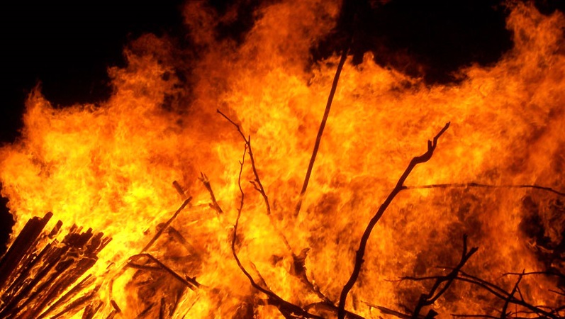
Massive #firestorm in Somerset West. #somersetwestfire pic.twitter.com/LcEwQu4ayG
— Etienne Beneke (@etiennebeneke) January 3, 2017
Smoke from the #helderbergfire reaching Cape Town City Bowl :( Good luck to the @vwsfires crews. pic.twitter.com/iVdSkHVkHo
— Armand du Plessis (@armanddp) January 3, 2017
[Image – CC BY-SA]

